Schools close as snow blankets Flintshire
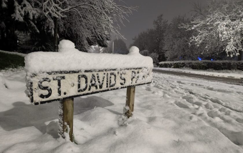
Flintshire has woken to a picturesque yet challenging start to the day, as snow blanketed the county overnight.
A Met Office yellow warning for snow remains active until 11 am, with residents advised to exercise caution.
Scenes around Ewloe this morning , pic.twitter.com/wwycWDZLdl
— DEESIDE.com (@DeesideDotCom) November 19, 2024
Snow began falling on Monday evening, creating treacherous conditions on the roads.
Part of the A55 was temporarily closed at Caerwys due to a collision amid heavy snowfall, and drivers reported ‘horrendous’ conditions around Halkyn and Holywell.
This morning, the main roads, including the A55 and A494, appear to be running relatively smoothly, with reports from social media suggesting all sections are now passable.
However, much of the snow remains on the carriageways, and side roads across the county are still covered in a thick layer of snow, making them difficult to navigate.
Very snowy scene out there this morning – A55 and A494 look to be running fairly well, still alot of snow around the carriageways, but from reports on social media, all sections are passable pic.twitter.com/lfEllSW9V5
— DEESIDE.com (@DeesideDotCom) November 19, 2024
The adverse weather has also impacted schools, Elfed High School in Buckley will be closed today, in a statement on social media, the school said:
“Due to severe snow and icy conditions, and the advice of North Wales Police not to drive, Elfed High School will be closed today (19th November 2024) to ensure the safety of our students, staff, and families.
Hawarden High School and Argoed High School have also announced they will be closed today.
Ysgol Bryn Garth in Penyffordd and Ysgol Terrig in Treuddyn partial closures early this morning.
Both schools cited heavy snowfall as the reason, with parents advised to contact the schools for further details.
Further school closures are listed on the Flintshire Council website, here: https://www.flintshire.gov.uk/en/Resident/Schools/SchoolClosures.aspx
A Wintry Week Ahead
The Met Office warns of a prolonged cold spell this week, with freezing temperatures, frosty mornings, and further wintry showers expected until the weekend.
Today: Wintry showers will linger across northern areas before clearing to sunny spells by the afternoon.
Highs of 7°C are forecast, but light winds and a cold breeze over the mountains will keep the chill in the air.
Tonight: Frost will set in overnight as temperatures dip to -2°C in rural areas, with scattered wintry showers moving into the west by morning.
Wednesday promises a frosty start followed by brighter conditions. The east may see some sun, but cloud cover will persist in western areas, with a maximum temperature of 8°C.
Thursday and Friday will remain cold, with wintry showers and sunny intervals. By Saturday, a shift to wetter and windier weather is expected, driven by southerly winds.