Beast from the East 2.0 brings a few inches of snow to Deeside
The “mini beast from the east” has seen temperatures fall a couple of degrees below zero overnight and a decent layer of snow descend on Deeside this morning.
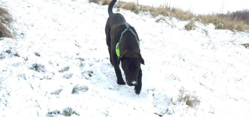
For those who haven’t opened the curtains yet – a fair old sprinkling of snow on Deeside this morning – lots of red (snow) on the latest radar loop but should stop snowing early afternoon – top temp 1º (feels like -4º) pic.twitter.com/ZujoeYvZON
— Deeside.com (@DeesideDotCom) March 18, 2018
Cold weather and snow is affecting much of the UK and daytime temperatures will struggle to get more than a degree above freezing .
North Wales Police are asking motorists across North Wales to only make essential journeys due to the snowfall.
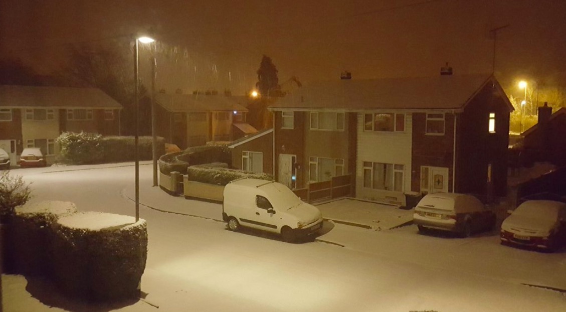
Picture taken by Flintshire Skies of Hope early this morning
A Yellow Severe Weather Warnings are in place for Flintshire today which features snow and ice.
The warning states:
‘Snow showers are likely to continue throughout Sunday, with an increased chance that longer spells of snow will affect some areas. Southern and eastern regions look most vulnerable overnight and early on Sunday and then southwestern areas of England and south Wales into the daytime.
‘Separate Amber warnings are in force for those areas most likely to see disruption.
Any heavier snow will become largely confined to southwest England through the day.
There is a chance of travel delays on roads with some stranded vehicles, along with delayed or cancelled rail and air travel. Damage to trees or other structures.
Further snow to come. Staying windy and bitterly cold.’
Weather forecast for today:
Further snow through the morning, locally heavy and persistent, especially towards the south. Snow showers will gradually ease through the day but remaining largely cloudy, windy and bitterly cold, with a significant wind chill. Maximum temperature 1 °C.
Roadwise the A55 / A494 look to be passable – obviously side roads / untreated roads are going to be a chllenge this morning. pic.twitter.com/MR3X084ugY
— Deeside.com (@DeesideDotCom) March 18, 2018
Tonight:
Snow showers continuing to ease overnight and will become more isolated. Winds will be lighter, although it will remain breezy. Very cold again, with the risk of widespread ice. Minimum temperature -4 °C.
Monday:
After a very cold start, many will have a dry and fine day with sunny spells. Remaining breezy but with lighter winds than on Sunday. Temperatures recovering closer to average. Maximum temperature 6 °C.
Outlook for Tuesday to Thursday:
After a frosty start, dry and fine on Tuesday with lighter winds. Turning more unsettled thereafter with spells of rain and strengthening winds, although with temperatures recovering closer to average.
Phone pics this morning Chester @ChesterChron @cheshirelife @chestertweetsuk @DeesideDotCom @ChronSallie @Chesterboats pic.twitter.com/1UnnWgwPml
— Dale Miles ( Welshie ) (@dalemiles2016) March 18, 2018