Cold snap brings snow to Flintshire this morning

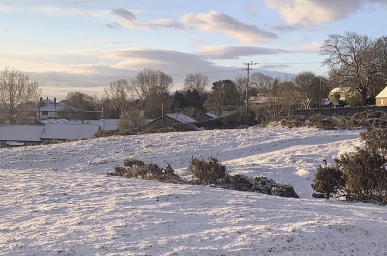
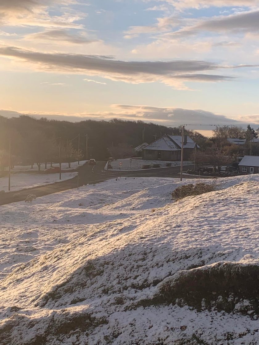
Following a week of sunny and mild weather, people in one part of Flintshire have woken to a snowy scene this morning.
There has been a noticeable change from the dry and mild weather associated with the high-pressure system which dominated the country last week, with colder Arctic air pushing south across most of the country.
The colder weather has led to some snowfall in parts of the UK over the past few hours.
Wintery showers overnight have left a layer of snow on Halkyn Mountain.
Photographs posted on Facebook by the Halkyn Mountain Community Page show a winter wonderland scene across the landscape.

The unsettled weather will continue through the weekend, although temperatures will gradually recover to near-average over the weekend and into the start of next week.
Met Office Deputy Chief Meteorologist Helen Caughey said, “Cold and unsettled weather takes charge over much of the UK this week, as cold air is drawn in from the north, bringing with it the risk of rain, sleet and snow, and a widespread drop in temperatures.
“The main areas at risk of snowfall being higher ground in the north and east. The best of any clear and sunny spells through the rest of this week are likely to be in the south and west of the UK, albeit feeling colder compared to last week.”
The drop in temperatures is a risk for some of the nation’s gardeners. The Royal Horticultural Society’s Guy Barter said: “Colder weather will slow plant growth and inhibit plums and pears pollination as insects fly less in cold dull weather.
“Limited rain will help new sowings of peas and carrots for example and newly planted lettuces and other plants but should not greatly delay sowing and planting once conditions improve. Tender plants, petunias and tomatoes for example, won’t be put outside for another month at least but lower light affects greenhouses and will slow their growth.”
Spotted something? Got a story? Email: [email protected]
Latest News
