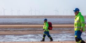
Temperatures building across Flintshire this week as hot weather returns

It’s set to be a hot week across Flintshire and parts of the UK as temperatures once again begin to rise.
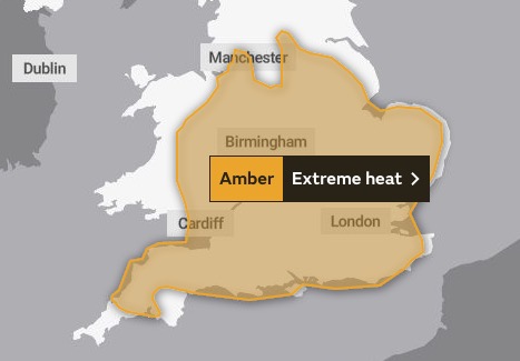
The Met Office has issued a four-day amber warning for extreme heat from Thursday, as it stands Flintshire is not covered by the warning but neighbouring Wrexham and Chester are.
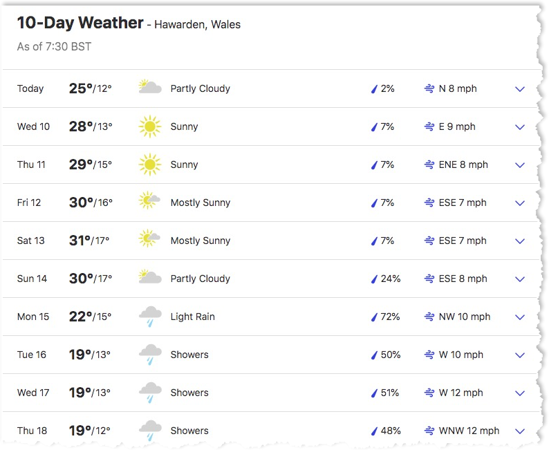
Locally heat will build through the week, likely peaking on Friday and Saturday thanks to the influence of high pressure.
Temperatures are likely to rise into the low-to-mid 30s Celsius for central and southern areas of the UK.
Saturday appears to be the hottest day of the week for Flintshire with a maximum temperature reaching 31C.
Saturday’s peak is some way short of the new Wales record high temperature of 37.1C which was recorded at Hawarden Airport on July 18.
Temperatures are not expected to be as extreme as those experienced in July when new national records were set.
Away from the highest temperatures expected in central and southern areas, much of England and Wales, as well as the southeast of Scotland, could still see temperatures widely into the high 20s Celsius, with a chance of a few spots seeing temperatures into the low 30s.
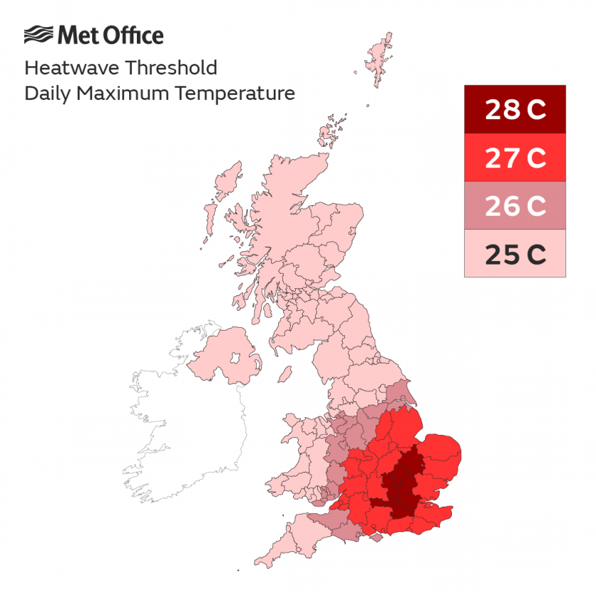
Scotland and Northern Ireland will also see temperatures into the high 20s and could reach official heatwave criteria by Friday.
Met Office Deputy Chief Meteorologist Tony Wardle said: “Heatwave criteria look likely to be met for large areas of the UK later this week, with the hottest areas expected in central and southern England and Wales on Friday and Saturday.”
“Temperatures could peak at 35C, or even an isolated 36C on Saturday.”
“Elsewhere will see temperatures widely into the high 20s and low 30s Celsius later this week as temperatures build day-on-day through the week due to an area of high pressure extending over much of the UK.”
“Coupled with the high daytime temperatures will be continued warm nights, with the mercury expected to drop to only around low 20s Celsius for some areas in the south.”
Little rain in the forecast
After the driest July in England since 1935, there’s little in the way of rain in the forecast, with only the northwest of the UK likely to see any short-lived showers, with details still being determined later in the weekend and into early next week.
Met Office Deputy Chief Meteorologist Tony Wardle said: “With high pressure dominant this week, the influence of any showers will be contained to the far northwest, and even here will be short-lived in nature.”
“Further south, which has seen little rain for some time now, dryness will continue through the week and provide no relief for parched land, especially in the southeast.”
“Some change to more unsettled conditions is then signalled but, as is often the case during the summer, details a week or more in advance of showers and rain are highly uncertain.”
Check live fuel prices near you before you set off.
Spotted something? Got a story? Email news (@) deeside.com
NEW: Add Deeside.com as a preferred source on Google to see more of our trusted coverage when you search.
Latest News