Met Office ‘yellow’ weather alert – Storm Eleanor set to bring strong winds to Flintshire
Batten down your bin lids, strong winds are set to batter Flintshire later this evening as Storm Eleanor hits the UK.
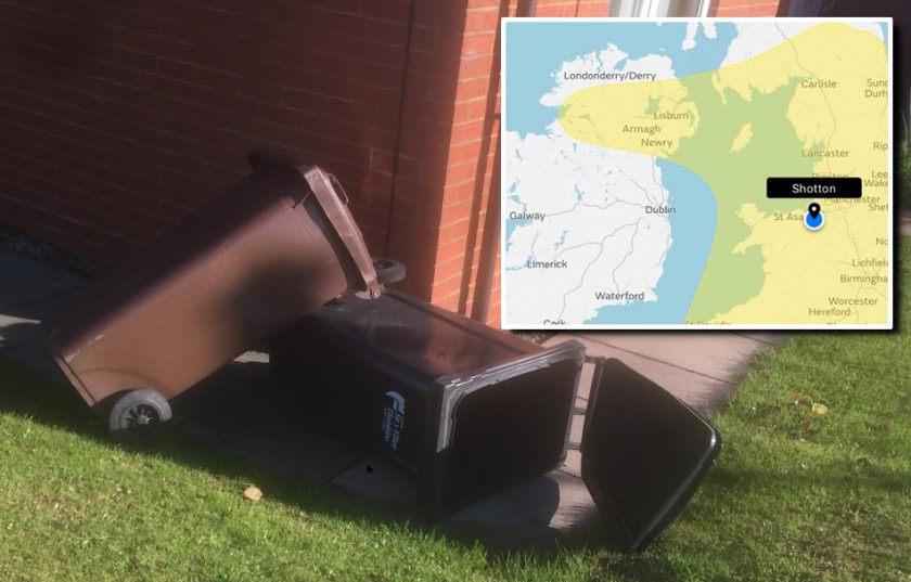
The Met Office has issued a ‘yellow’ weather warning for many parts of the UK including Flintshire from 6pm through to 6pm on Wednesday.
Gusts of over 50mph are forecast for Hawarden from 9pm according to the latest aviation weather report though strong winds will begin to hit from around 6pm according to forecasts. 
The Met Office warning which was initially issued on Sunday has been updated today, it says:
‘Storm Eleanor to bring very strong winds later Tuesday, continuing overnight and on Wednesday.
The warning has been adjusted to bring the northern boundary southwards, and to combine with the warning previously in force for Wednesday.
Public transport may be disrupted or canceled and some bridges are likely to be closed. Power cuts and disruption to other services (mobile phones for example) may also occur, while injuries from flying debris are possible.
Combined with a period of high tides, it is likely that some western coastal communities will be affected by large waves and spray, and again there is a chance that injuries and danger to life could occur from large waves, or beach material being thrown on to seafronts and coastal properties.’
High winds and Flintshire Bridge – How the council decides when to close it.
Chief Forecaster’s assessment
“A deepening area of low pressure, now named Storm Eleanor, will track east across the centre of the UK.
This will bring gales and severe gales to Northern Ireland and northern England late on Tuesday and overnight, clearing eastern England during Wednesday morning.
The strong winds may clip southern Scotland, with continued uncertainty in the northern extent. Further south, severe gales affect western and southern coasts this evening and overnight, with a very squally feature bringing a short spell of intense rainfall and very strong gusts to some inland localities.
Wednesday daytime sees a very blustery day, with squally gusts accompanying showers in many areas.
Throughout this period, gusts of 60-70 mph are likely along exposed coasts, with the more exposed locations seeing gusts close to 80 mph. Inland gusts exceeding 60 mph are possible.”
Spotted something? Got a story? Email: [email protected]
Latest News
