Met Office issue yellow weather warning with heavy rain and thunderstorms forecast
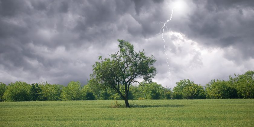
Heavy showers and stormy conditions are set to hit Flintshire today with a yellow weather warning issued by the Met Office.
The wet weather of July is continuing on into the start of August, with an “unseasonably deep area of low pressure” expected to bring strong winds and heavy rain to large parts of the UK.
The warning, which covers large parts of Wales and central England, is in place between 9am and 7pm tomorrow.
According to the Met Office within this area “slow moving thunderstorms could lead to rainfall accumulations of 20-25mm within an hour.”
There is a risk that some locations could see in excess of 40mm within a two to three hour hour period, which could result in flash flooding and disruption.
Met Office Chief Meteorologist, Dan Suri, said: “An unseasonably deep area of low pressure for the time of year will move into Ireland during the early hours of Wednesday then continue across Wales and England during Wednesday daytime.
“Heavy rain associated with this low will affect large parts of the UK tonight and on Wednesday, some of the heaviest rain occurring on Wednesday over central parts of England and Wales where some locations could see 40mm of rain in just a few hours from thundery downpours.
“This deep low will also bring high winds into the UK on Wednesday, especially the south.
“Gusts of up to 60mph are possible in the very far southwest early on Wednesday whilst further along the south coast the highest gusts will be during Wednesday daytime.
“Despite the centre of the low pressure crossing the UK, the highest wind speeds will be further south over northern France and the Channel Islands.
“The low will pull away eastwards from the UK during Wednesday evening and night, leaving a calmer day on Thursday though some heavy showers could persist in the east.”
[Photo: Met Office]
Check live fuel prices near you before you set off.
Spotted something? Got a story? Email news (@) deeside.com
NEW: Add Deeside.com as a preferred source on Google to see more of our trusted coverage when you search.
Latest News