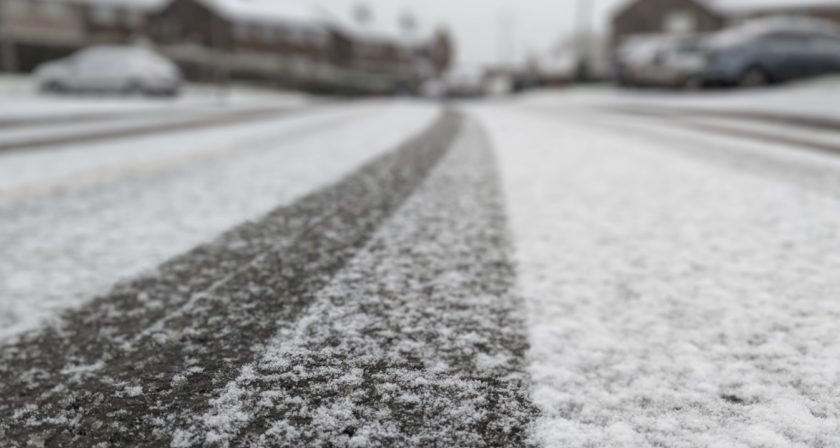
The Met Office has said the period of snowfall is expected to bring some disruption, particularly on Thursday.
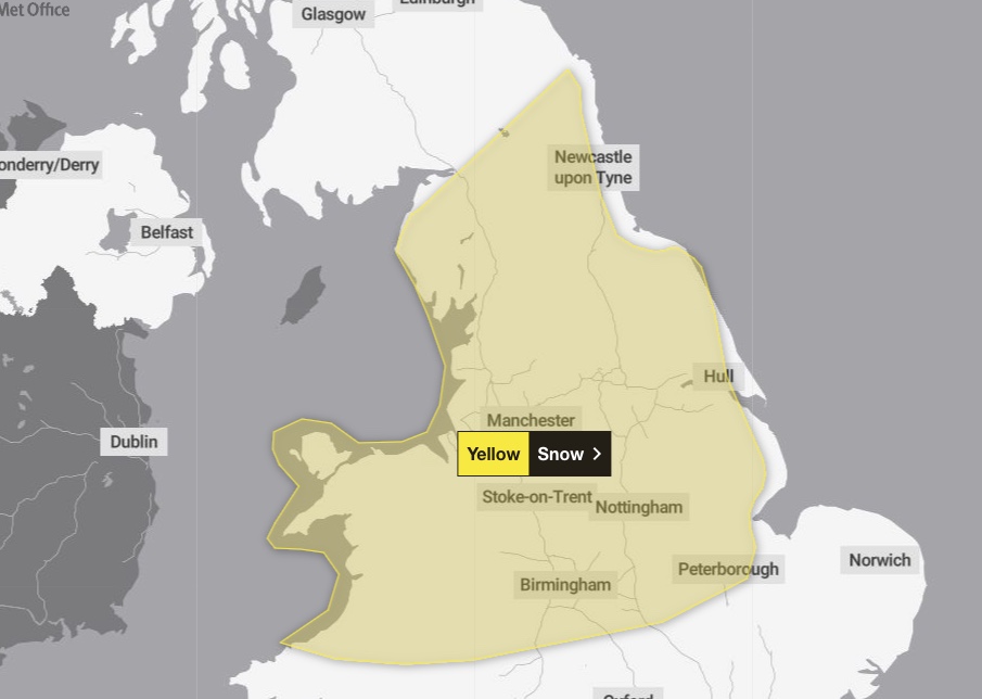
[A large area of Wales and England is covered by the warning]
Met Office Deputy Chief Meteorologist Chris Almond said: “While the early part of this week will see some rain, at times heavy, gradually sinking southwards, there’s an increased signal for wintry hazards as we move through the week as cold air from the north moves over the UK.
“It’s from Thursday that the snow risk becomes more potentially impactful, as mild air attempts to move back in from the south, bumping into the cold air and increasing the chance of snow developing on the leading edge. While there are still lots of details to work out, the initial snow risk looks highest in northern England and Wales from Thursday. 1-2cm is possible to low levels, with 10-20cm possible over the highest ground within the warning area. This snow will likely gradually transition to sleet and rain later on from the south.”
With a developing weather situation, it’s likely warnings will be issued and amended through the week, with an ongoing chance of ice warnings for some.
Weekend weather
The met Office has said that although there’s still some uncertainty on the positioning of weather fronts from Thursday and the exact position of any snow, “the trend further ahead is for the colder conditions with more-scattered wintry showers to spread south, reaching most parts of the UK over the weekend, though there will be plenty of sunshine between times – but this will lead to some frost by night.”