Weather warning in place for North Wales as thunderstorms expected to hit region
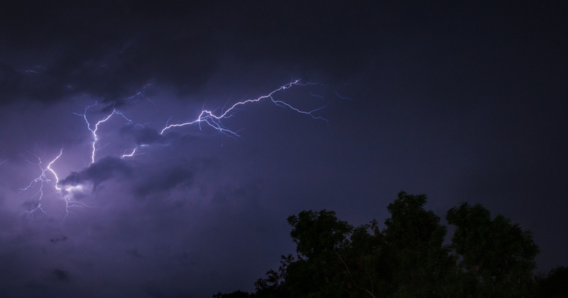
A weather warning has been issued covering North Wales as warm temperatures are expected to give way to thunder storms.
The yellow warning is effective from 4pm tomorrow (Thursday) until 9am on Friday and covers most of the region.
The Met Office said thunderstorms could develop across western parts of the UK late on Thursday afternoon and into the evening.
A larger area of thunderstorms is then expected to move northeastwards overnight into Friday.
Many places will miss the worst of the storms but where they do occur torrential downpours could bring 30-40 mm rain in less than two hours. Lightning and hail are also likely to be additional hazards.
Meanwhile, Wrexham and Flintshire are also covered by a separate warning stretching from 12pm on Friday until 6am on Saturday, with up to 50mm of rain possible in an hour in some places.
Forecasters have warned of the following potential impacts:
- There is a small chance that homes and businesses could be flooded quickly, with damage to some buildings from floodwater, lightning strikes, hail or strong winds
- Where flooding or lightning strikes occur, there is a chance of delays and some cancellations to train and bus services
- Spray and sudden flooding could lead to difficult driving conditions and some road closures
- There is a small chance that some communities become cut off by flooded roads
- There is a slight chance that power cuts could occur and other services to some homes and businesses could be lost
Check live fuel prices near you before you set off.
Spotted something? Got a story? Email news (@) deeside.com
NEW: Add Deeside.com as a preferred source on Google to see more of our trusted coverage when you search.
Latest News