Met Office warns of 24 hours of rain with yellow alert for Flintshire
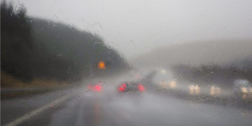
A yellow weather warning has been issued for Flintshire and much of Wales as heavy rain is expected to cause disruption from Friday morning into Saturday.
The Met Office warning, in place between 6am on Friday 14 November and 6am on Saturday 15 November, covers all of Wales including Flintshire, Denbighshire and Wrexham.
Forecasters say prolonged rain could lead to flooding of homes and businesses, hazardous driving conditions and delays to public transport.
There is also a slight chance of power cuts and loss of services in some areas.
The Met Office said: “Outbreaks of rain will develop through Thursday evening and night, becoming prolonged and heavy throughout Friday before slowly easing into Saturday morning. Strong easterly winds will accompany this rain.”
Between 30 and 50 millimetres of rainfall is expected widely, with up to 80 millimetres in some parts of Wales and potentially more than 100 millimetres across east-facing hills.
Although the heaviest rain is likely in southeast Wales, forecasters say surface water and river flooding could affect communities across north and mid Wales, particularly following recent wet weather.
The Met Office advises residents to check whether their properties are at risk of flooding and to prepare an emergency flood plan and kit if necessary.
Drivers are urged to plan ahead, allow extra time and check road conditions before travelling.
People are also advised to prepare for possible power cuts by keeping torches, spare batteries and phone chargers ready.
The warning follows several weeks of unsettled weather across the UK, with forecasters cautioning that further updates may be issued as the situation develops.
Met Office Deputy Chief Forecaster Mike Silverstone said:
“Heavy rain will affect a large swathe of central and southern England and Wales on Friday into Saturday. This rain will become slow moving, and some areas could see up to a month’s worth of rain in 24 hours. Given this will be falling on already saturated ground after a wet November so far for some places, it is likely that this rainfall will cause impacts.
“The rain is expected to cause surface water and some river flooding impacts, as well as difficult travelling conditions.
“Some uncertainty exists in the areas of heaviest rainfall at present, but impacts appear more probable across southeast Wales, the Midlands and parts of southern England. Strong easterly winds will also accompany this rain, bringing an additional hazard.
“We will be watching the situation closely in the coming days, with escalation and updates to the warnings possible.”
Alun Attwood, Duty Tactical Manager for Natural Resources Wales, said: “The yellow rain warning in place from the early hours of Friday and into Saturday could lead to significant impacts across Wales. With rivers already swollen and the ground saturated, we expect to see flood alerts and warnings issued.
“We’re urging people to be vigilant and to make preparations for potential flooding now. You can check if you live in an area at risk of flooding on our website and sign up for our free flood warning service.
“We do not provide flood warnings for flooding from surface water, so it’s important for everyone to know their flood risk.
“If there is flooding, we want to make sure people are doing all they can to keep themselves safe. We want to remind people to keep away from swollen riverbanks and not to drive or walk through floodwaters as you don’t know what lies beneath.
“Keep an eye on weather forecasts and visit our website for the latest information on flood warnings, and find practical advice on what to do before, during and after a flood.”
Check live fuel prices near you before you set off.
Spotted something? Got a story? Email news (@) deeside.com

NEW: Add Deeside.com as a preferred source on Google to see more of our trusted coverage when you search.
Latest News