Heatwave to continue in North Wales with little rain forecast this week
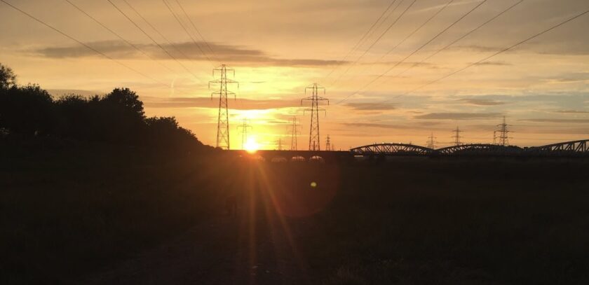
Wales is set for another week of largely dry, sunny and very warm weather, according to the Met Office.
High pressure will remain dominant, though a slight downturn in temperatures is likely by the weekend.
Temperatures in Wales are expected to reach around 28C on Monday, with the east and northeast coast feeling cooler under breezier, cloudier conditions.
Heat Health Alerts issued by the UK Health Security Agency remain in place, the Met Office said.
By Tuesday and Wednesday, temperatures are likely to peak between 30C and 32C across parts of England and Wales, with most places continuing to stay dry and sunny.
In Hawarden, the Met Office forecast highs of 27C on Monday, rising to a peak of 29C on Wednesday, before easing to 22C by Saturday as cloudier conditions return.
Steven Keates, Met Office Deputy Chief Forecaster, said the settled pattern would continue with large amounts of sunshine through the week.
“In terms of rain, there’s a chance of some showers and thunderstorms in isolated spots in the south of England on Wednesday and Thursday, but these are likely to be sporadic in nature, and many people won’t see any rain this week,” he said.
“By the weekend, high pressure builds back in from the northwest, reducing the shower risk and bringing a return to more widely settled, dry and still warm conditions,” Mr Keates said.
The dry, warm spell has brought continued wildfire risk to parts of Wales, with North Wales Fire and Rescue Service crews responding to a number of wildfire and grass fire incidents across the region in recent days, including in Flintshire.
A National Fire Chiefs Council spokesperson said extreme wildfire conditions would persist across many parts of England and Wales for much of the coming week.
“When the weather stays hot and dry, it only takes one spark to start a wildfire. What can begin as a small fire can spread incredibly quickly, putting people, homes, wildlife and our countryside at risk,” the spokesperson said.
“We’re asking everyone to take extra care outdoors, whether that’s avoiding disposable barbecues in the countryside, parks or moorlands, or making sure cigarettes are fully extinguished,” they said.
UV levels are expected to be high or very high across many parts of the UK throughout the week, and pollen levels are also expected to be high or very high in some areas, according to the Met Office.
With warm weather often drawing people to the water, the Met Office is also urging caution for anyone heading to rivers, estuaries or the coast, including the Dee Estuary.
Sea and river temperatures of 15C or lower can cause cold water shock, and people are advised to check the water temperature, wear a wetsuit for any length of time in the water, and wear a life jacket or swimming buoy.
Lee Pooley, Head of Safety at Paddle UK, warned that offshore winds can be particularly dangerous for paddleboarders.
“Offshore winds are incredibly deceptive because the water near the shoreline often looks perfectly calm, flat, and inviting. However, the moment you paddle out, a breeze blowing from the land can rapidly sweep a paddleboarder out to sea faster than they can paddle back,” he said.
“We strongly advise everyone to check the weather and wind direction before heading out, and if the wind is blowing away from the shore, do not go,” Mr Pooley said.
Check live fuel prices near you before you set off.
Spotted something? Got a story? Email news (@) deeside.com

NEW: Add Deeside.com as a preferred source on Google to see more of our trusted coverage when you search.
Latest News