Chester Marathon: Road closures on Sunday
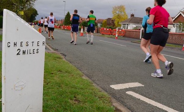
Sunday sees the annual MBNA Chester Marathon, it’s the ninth year of the race which attracts runners of all levels and abilities from all over the UK.
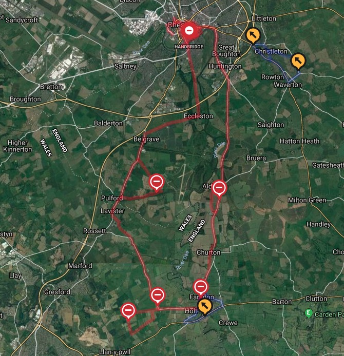
The race takes place on closed roads covering 19 miles in England and 7 miles in Wales running past all Chester’s iconic landmarks before heading out to the stunning Cheshire and North Wales countryside and villages; returning alongside the River Dee for a unforgettable finish at the Racecourse.
Road closures will be in operation on Sunday morning:
Castle Drive – Little Roodee Car Park to Lower Bridge Street will be closed from 5.30am to 7.30pm.
Close the following roads at 8am for for an anticipated duration of two and a half hours:
- Nuns Road – Black Friars to Lower Watergate Street
- City Walls Road – Stanley Place to Lower Watergate Street
Prohibit entry into the B5130 Sandy Lane at its junction with the A51 Christleton Road at 8am for an anticipated duration of eight hours.
The following roads at 8.30am for an anticipated duration of two and a half hours.
- Sealand Road/New Crane Street – Stadium Way to Nuns Road/City Walls Road
- South View Road – whole length (New Crane Street to Raymond Street)
- Raymond Street – South View Road to Canal Street
- Canal Street – whole length (Raymond Street to Upper Northgate Street)
- Northgate Street – whole length (Upper Northgate Street to Eastgate Street)
- Upper Northgate Street – The Northgate to George Street
- Water Tower Street – Canning Street to Northgate Street
- Hunter Street – Northgate Street to Hunters Walk
- St Werburgh Street – whole length (Northgate Street to Eastgate Street)
- Eastgate Street – whole length (Foregate Street to Northgate Street)
- St John Street – whole length (Foregate Street to Little St John Street)
- Foregate Street – Eastgate Street to St John Street
- Vicars Lane – whole length (Little St John Street to Union Street)
- Little St John Street – whole length (Vicars Lane to Pepper Street)
- Pepper Street – whole length (Little St John Street to Bridge Street)
- Lower Bridge Street – whole length (Pepper Street to Old Dee Bridge)
- Grosvenor Street – Cuppin Street to Pepper Street
- White Friars – Bridge Street to the access to Bank House
A full list can be found here: chester.yourwestcheshire.co.uk
Spotted something? Got a story? Email: [email protected]
Latest News
