Amber weather alert for snow ends in Flintshire but Met Office yellow warning remains
Heavy snowfall in Flintshire has caused treacherous driving conditions, leading to road closures and travel disruptions.
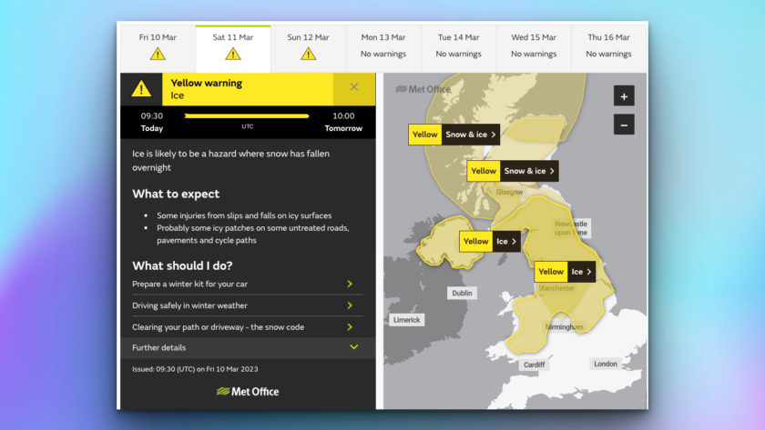
The Met Office issued an amber warning for snow, which has now ended, however, further yellow alerts for snow and ice remain in place until 10am on Saturday.
North Wales Police are advising people only to travel, a spokesperson said: “Driving conditions remain poor across parts of North Wales (mainly inland) with some areas having seen significant snow fall overnight. We are advising motorists to only travel if necessary.
“If you must travel, allow plenty of time for your journey and drive according to the conditions. Officers have been out overnight dealing with road traffic collisions.
“Please continue to follow Met Office for weather updates and Traffic Wales North & Mid for the situation on the roads.
“We are experiencing a high number of calls, please be patient and only use the 999 line in an emergency.”
According to the Met Office, an area of low pressure will move across the UK through Friday with snow continuing across Wales and central England.
The snow is expected to move slowly north during the day, becoming slow-moving across north Wales and northern England.
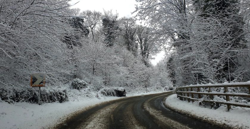
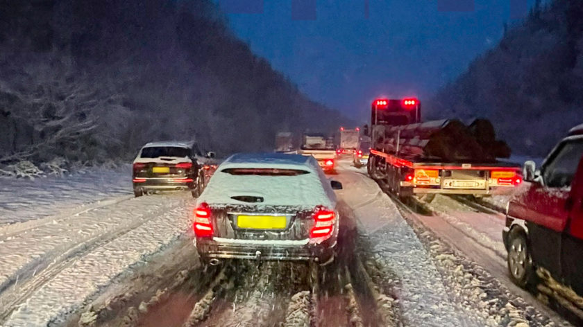
The heavy snow overnight led to the closure of sections of the A55, which were left impassable early in the morning.
Snow ploughs have been used to clear the roads, and most sections are now running freely.
However, motorists are advised to remain cautious while driving.
Flintshire County Council has urged residents to stay safe and take precautions during the snowy weather.
They have also advised people to only travel if necessary.
The A55 between Broughton and Dobshill was closed due to snow, it has since reopened – photo: @adpeers
Speaking to BBC Radio Wales this morning, Katie Wilby, Flintshire Chief Officer Streetscene and Transportation said:
“Council crews have been out all night, ploughing and gritting roads, and have been concentrating on the priority routes, which are the main roads.”
“It’s been pretty tough, challenging conditions. ”
“The crews we’ve got gritting crews out all night they’ve been out ploughing and gritting all night we’ve had extra vehicles on.”
“We normally have 12 gritters outs but we’ve had the spare vehicle out and two extra vehicles as well.”
“The council has been focusing on the priority routes, which are the main roads, and has spread approximately 360 tonnes of snow salts this morning.”
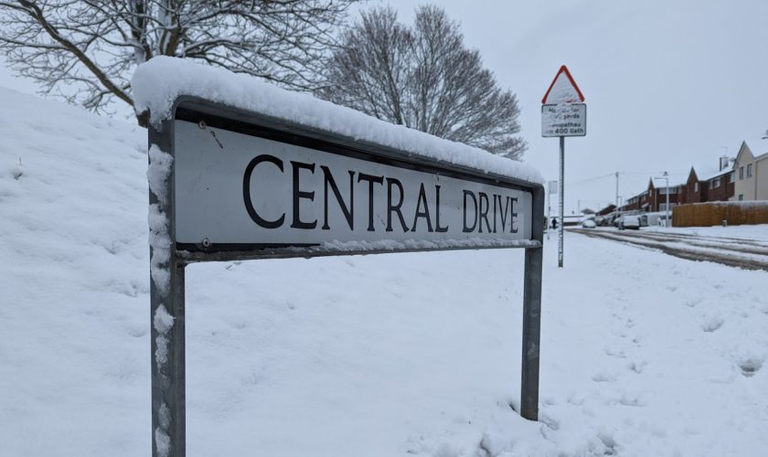
Photo: Lou Oliver
“They have also gritted around 2360 kilometres of road in the last 36 hours.”
Ms Wilby said that there had been “significant snowfall overnight, with some areas seeing up to 40 centimetres of snow on high ground.”
She said, “we didn’t anticipate drifting overnight, we have seen light winds. ’”
“We have some drifting in places as well in particular on the high ground.”
Looking ahead
The Met Office has said: “As we move towards the weekend, the area of low pressure that has brought the milder air will have moved out to the east, allowing colder air to spread south right across the UK, whilst wintry showers once again will become established across northern and eastern Scotland, as well as perhaps the east coast of England for a time.”
“It will be an exceptionally cold night on Friday, with a clear and frosty start to Saturday for the majority.”
“Another area of low pressure is expected to arrive from the west through Saturday, pushing milder air northeastwards.”
“This will be preceded by snow, and possibly freezing rain, especially over the higher ground of Wales and further north.”
“For many areas this is likely to turn to rain as the milder air arrives, but for some parts of northern Britain in particular the snow could become more persistent.”
“Weather warnings are under constant review and will be issued as the detail of potential impacts becomes clearer.”
“By start of next week, low pressure from the west will drive strong winds and heavy rain across much of the UK. However, the colder air could hang on for longer in northern Scotland, with a chance of further significant snow should it do so.”
[Main photo: @markmiwurd]
Check live fuel prices near you before you set off.
Spotted something? Got a story? Email news (@) deeside.com
NEW: Add Deeside.com as a preferred source on Google to see more of our trusted coverage when you search.
Latest News