Yellow Warning: Two day thunderstorm alert active from 10am Monday
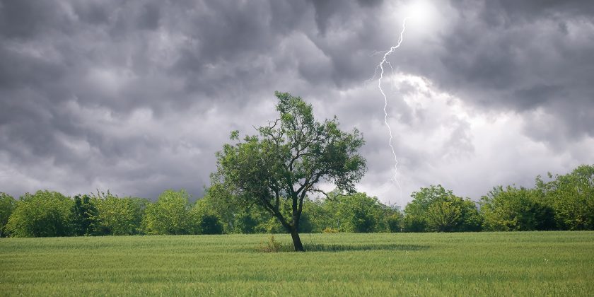
Thunderstorm warnings have been issued by the Met Office as the current heatwave conditions draw to a close.
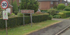
A two-day Yellow thunderstorm warning has been issued for Flintshire from 10am Monday and Tuesday.
The warnings signal the start of a change in the dominant weather type for the UK as we move into next week.
Though the Met Office has said thunderstorms will be a ‘hit-and-miss’ affair with locations only a few miles apart receiving no rain while others seeing extreme rainfall and flooding.”
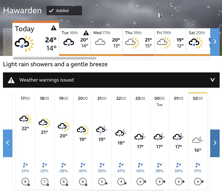
According to the BBC Weather forecast, we could see thunderstorms at around 9pm tonight.
Met Office Deputy Chief Meteorologist Jason Kelly said: “The current hot weather will make way for a thundery breakdown from the west, which will spread south and east.”
“The warnings highlight the chance of some places seeing around 50mm of rain falling in a three-hour period in the north, with some areas further south possibly seeing around 30mm of rain in a three-hour period.”
This will it be a ‘hit-and-miss’ affair with locations only a few miles apart receiving no rain while others seeing extreme rainfall and flooding.
“Hail and frequent lightning are also possible as part of these downpours and represents an additional hazard.”
The thunderstorm warning for Flintshire is active from 10am on Monday through to 11.59pn on Tuesday, it states:
“While some places stay dry, areas of heavy rain and thunderstorms will continue during Monday, bringing possible disruption.”
What to expect
- There is a small chance that homes and businesses could be flooded quickly, with damage to some buildings from floodwater, lightning strikes, hail or strong winds
- Where flooding or lightning strikes occur, there is a chance of delays and some cancellations to train and bus services
- Spray and sudden flooding could lead to difficult driving conditions and some road closures
- There is a slight chance that power cuts could occur and other services to some homes and businesses could be lost
Check live fuel prices near you before you set off.
Spotted something? Got a story? Email news (@) deeside.com
NEW: Add Deeside.com as a preferred source on Google to see more of our trusted coverage when you search.
Latest News