Met Office updates Flintshire snow warning as risk grows
The Met Office has updated its yellow weather warning for snow, covering Flintshire and much of North Wales, as Storm Goretti is expected to bring a greater risk of disruptive snowfall later today (Thursday) and into Friday.
The warning, in force from 5pm Thursday until 12pm Friday, reflects new data showing colder air arriving sooner, making snow more likely at lower levels across the region.
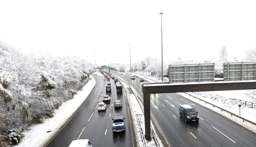
Rain will move in from the southwest this afternoon before turning to snow overnight. While earlier forecasts suggested snow would be confined mainly to higher ground, the latest update confirms a growing chance of accumulations even in lower-lying parts of Flintshire.
A Met Office spokesperson said: “Rain, associated with Storm Goretti, will spread northeastwards through Thursday afternoon and evening, transitioning to snow fairly widely overnight and into Friday.”
Local aviation weather data issued for Hawarden Airport gives a clearer indication of what conditions may be like locally overnight.
The Aerodrome Warning states: “Moderate to heavy snowfall is forecast, with accumulations of 1–4cm. Snow type wet. Visibility is not expected to fall below 600m in the snowfall, with a minimum visibility of 1200m. Winds are expected to be greater than 15kt with the possibility of drifting.”
This specific forecast period covers 7pm Thursday to midnight, aligning with the main phase of snowfall expected across North-East Wales.
Across the region, snowfall of 5–10 cm is likely where snow settles, with 15–25 cm possible on higher ground, particularly above 200 metres. Some upland parts of Wales could see totals approaching 30 cm, though not all areas will experience significant accumulation.
Met Office Chief Forecaster Neil Armstrong said: “Storm Goretti will be a multi-hazard event, with the most significant impacts from snow in parts of Wales and the Midlands and the very strong winds in the far southwest, though heavy rain in some parts of Wales and East Anglia also has the potential to bring disruption to many.
“Goretti will bring snow on its northern edge, this most likely over Wales and the Midlands. Here accumulations of 10–15 cm are likely widely, with 20–30 cm possible in some places, especially higher ground in Wales and the Peak District. An Amber warning has been issued where the greatest risk of disruption is likely on Thursday night into Friday morning. This is a complex spell of severe weather and I’d advise people in the warning areas to keep up to date with the forecast and messages from local authorities.”
Residents are advised to plan journeys carefully, allow extra travel time and avoid unnecessary trips during peak snowfall periods.
The Met Office recommends keeping winter essentials in vehicles, such as warm clothing, food, water, a torch, and a phone charger. People are also being urged to prepare for possible power interruptions, ensuring torches, batteries and power banks are ready.
Further updates are expected later today as the storm’s track and precipitation intensity become clearer.
- North Wales health board declares ‘internal critical incident’ amid snow warning
- Storm Goretti to halt rail services on Wrexham–Bidston line
Check live fuel prices near you before you set off.
Spotted something? Got a story? Email news (@) deeside.com
NEW: Add Deeside.com as a preferred source on Google to see more of our trusted coverage when you search.
Latest News